+5926585332

sat2farm@latitudegeospatial.com

Address: 195 Schoonord, West Bank Demerara

Explore how Latitude Sat2farm changes farming with its new and advanced features.

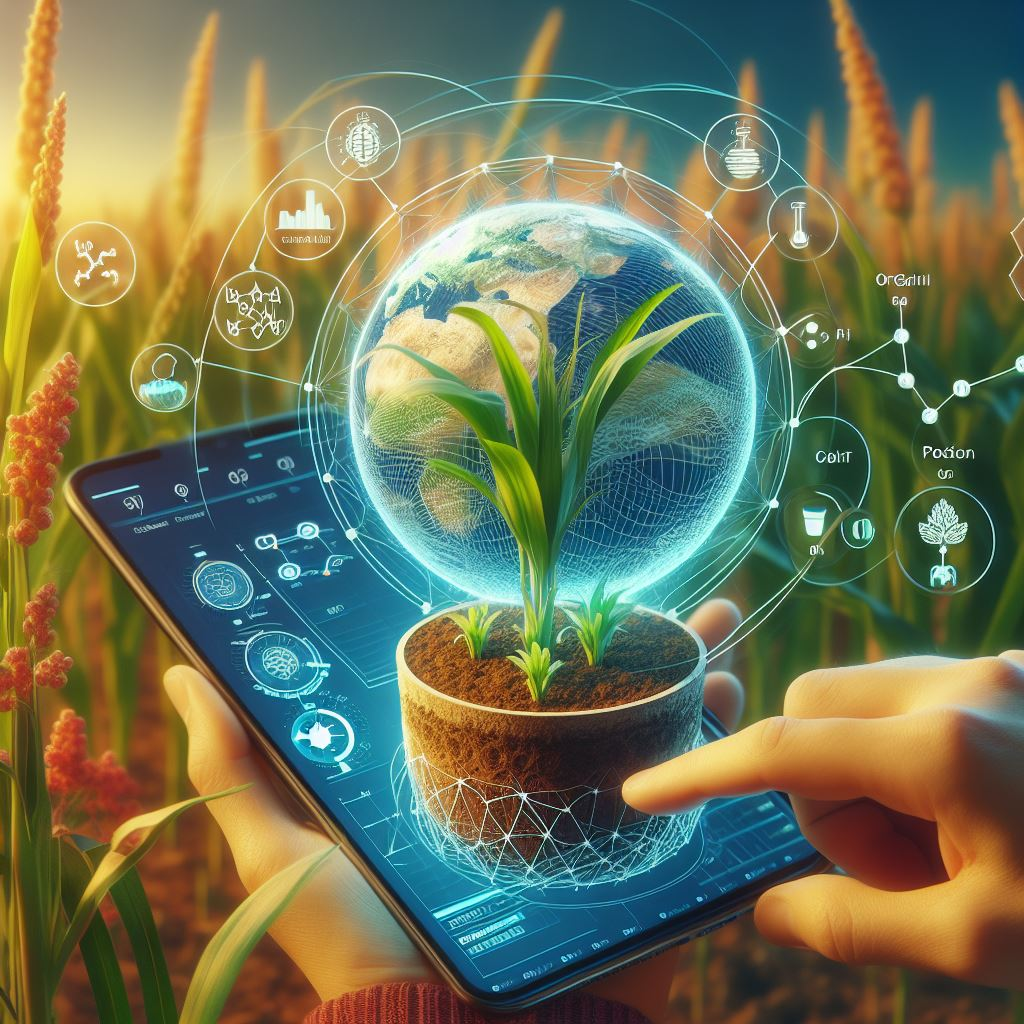
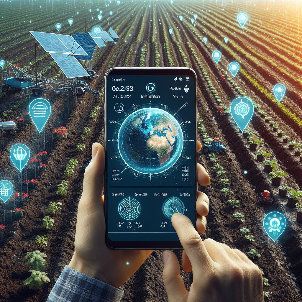
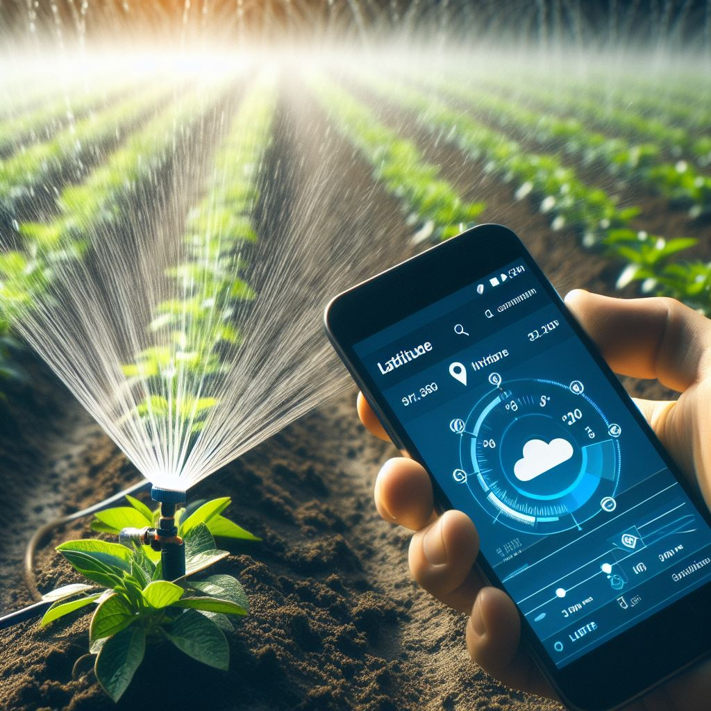
Innovative cloud-based and Mobile platform that combines satellite imagery, climatic data, artificial intelligence, and machine learning algorithms to empower farmers with farm-scale real-time insights. It's offers an array of valuable services to farmers and agriculture organizations through its mobile application and web platform.

Web design preview
AI/ML Image Advisory

Leveraging advanced AI and ML techniques, this feature provides valuable insights based on satellite imagery. It helps farmers make informed decisions about their crops, detect anomalies, and optimize management practices.

Soil Health Report

Understanding soil health is crucial for successful farming. Latitude-Sat2farm analyzes soil data to generate comprehensive reports on nutrients, pH levels, and overall soil condition. This information guides fertilization strategies and promotes sustainable agriculture.

15-Day Weather Forecast

Accurate weather predictions are essential for planning agricultural activities. Latitude-Sat2farm offers a 15-day forecast, allowing farmers to prepare for changing weather conditions and mitigate risks.

Soil Moisture Monitoring

Efficient irrigation management relies on real-time soil moisture data. By tracking soil moisture levels, farmers can optimize water usage, prevent water stress, and enhance crop productivity.

Crop Health Assessment

Satellite imagery helps monitor crop health throughout the growing season. Detecting early signs of stress, diseases, or nutrient deficiencies enables timely interventions and better yield outcomes.

Land Surface Water Index (LSWI)

Assessing water availability and vegetation health is critical. LSWI provides valuable information for water resource management, especially in regions prone to drought or water scarcity.

Irrigation Advisory

Receive personalized recommendations for irrigation scheduling based on current soil moisture levels, weather forecasts, and crop requirements. Efficient irrigation saves water and improves crop quality.

Crop Calendar

Plan your planting, harvesting, and other farming activities with a customized crop calendar. Aligning tasks with optimal conditions enhances productivity.

Pest and Disease Forewarning

Early detection of pests and diseases is essential for crop protection. Latitude-Sat2farm alerts farmers to potential threats, allowing proactive measures to minimize damage.

Whether you’re a small-scale farmer or part of a large agricultural organization, Latitude- Sat2farm equips you with actionable insights to enhance productivity, conserve resources, and promote sustainable farming practices

Unlocking the Power of Our Technology and Algorithms.

Latitude Sat2Farm harnessed cutting-edge Satellite Remote Sensing technology, combined it with Big Data Analytics, Machine Learning, and Physical Algorithms, and developed scalable solutions for farm-scale insights. Our algorithms integrate data from IoT sensors, UAV observations, and weather data, empowering users to analyze real-time information and make actionable decisions for their crops.

...

We provide satellite-based digital farming solutions like soil nutrition, irrigation advisory, crop health, weather and pest and disease and more to make the quick decision at a farm .