
Crop Nutrient Deficiency Detectione
The cumbersome and time-consuming process of soil macronutrient testing for each and every farm will be done with Sat2Farm easily without much hustle and will be readily available with the farmer himself for reference. This will help in determining the extent of crop nutrient deficiency and come up with remedies that would benefit the nutrient uptake in crops, hence increasing the overall crop yield.
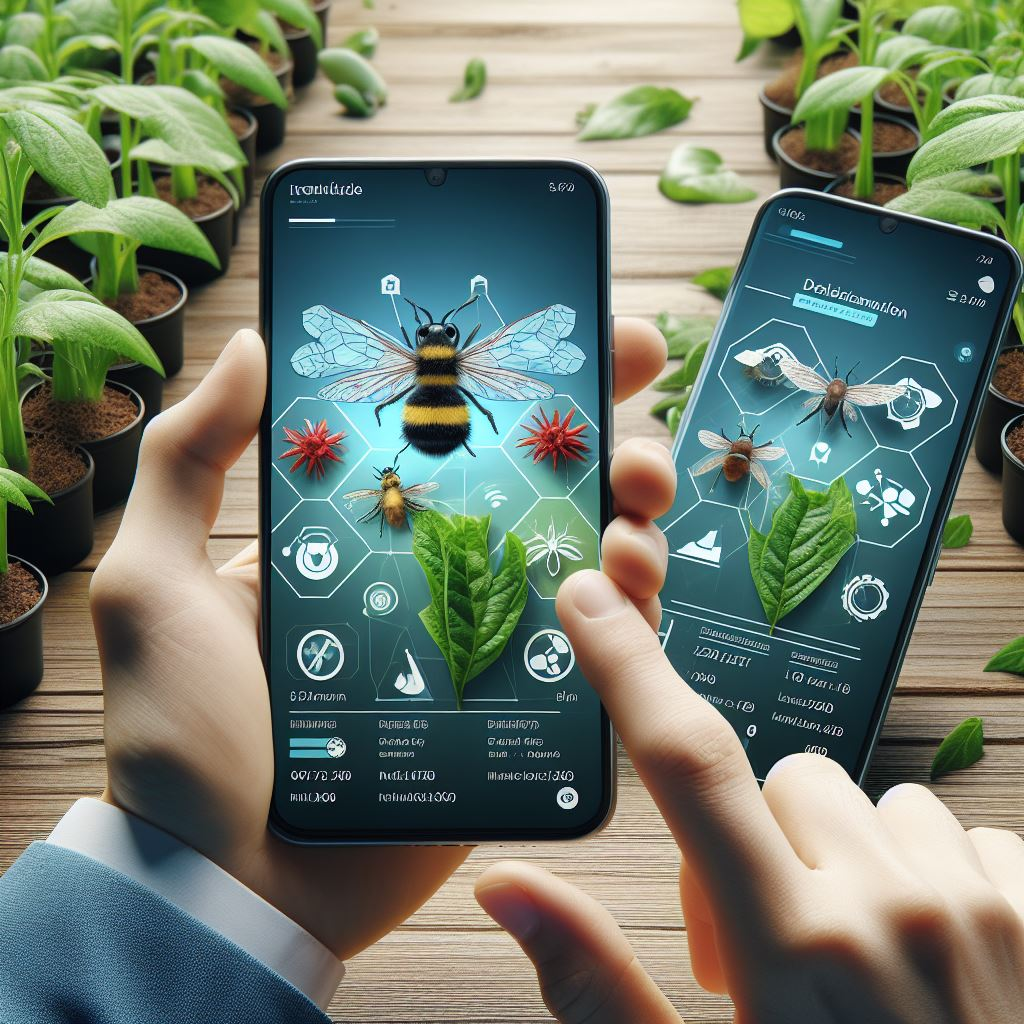
Identification Of Pests And Disease Infestation
Through the camera feature available in the application, the farmers are provided timely advice. Helps the farmers in rightly identifying the type of infestation or infection and get data on the right pest and disease control mechanisms to be used to avoid considerable loss in yield and quality of the produce.

Crop Health Monitoring
Monitor the crop health in your farms by getting indices like NDVI, EVI, RVI, etc to exactly identify the location of the crisis to focus on the most important issue on the farm rather than scouting all around the field.
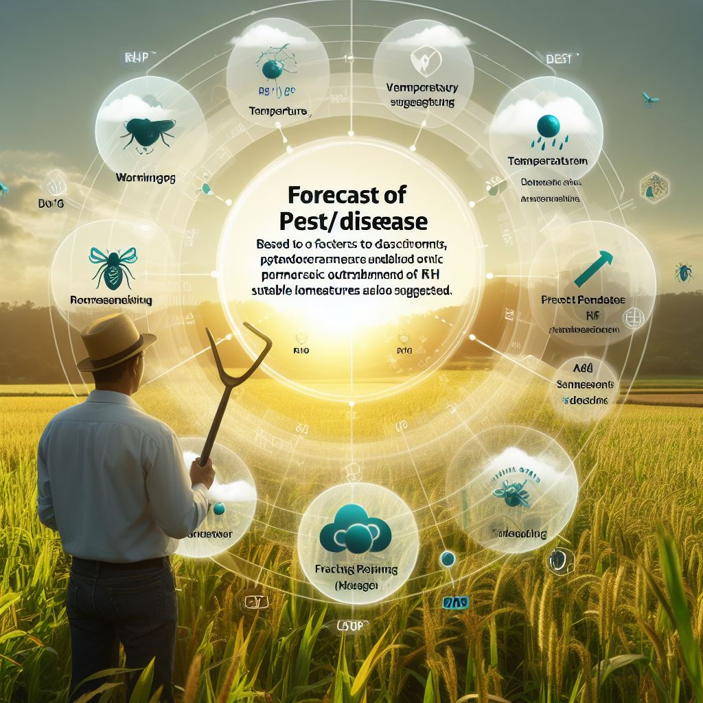
Forecast Of Pest/Disease
Based on factors such as RH, temperature, and other agronomic parameters, warnings are provided to the farmers of pest/disease outbreaks and along with it suitable control measures are also suggested. This feature enhances the preparedness of the farmer to withstand potential pest/disease threats.

Satellite-Based Soil Moisture Estimation
Helps the farmers in locating the potential surface water available for the crop uptake in their entire field and in deciding the type of crop that can be grown in the soil. It also helps the farmers in deciding the right irrigation water management strategies and the right system of irrigation to be used considering the available water content over a period of time.
Optimal Irrigation Requirement Estimation
The cumbersome and time-consuming process of soil macronutrient testing for each and every farm will be done with Sat2Farm easily without much hustle and will be readily available with the farmer himself for reference. This will help in determining the extent of crop nutrient deficiency and come up with remedies that would benefit the nutrient uptake in crops, hence increasing the overall crop yield.
.png)
Scientific Crop Calender
Specific and recommended packages of practice are available at all times for each of the crops grown to ensure timely farm operations and reduce the risk of overutilizing valuable farm resources like inputs, irrigation water, pesticides, fungicides, etc.
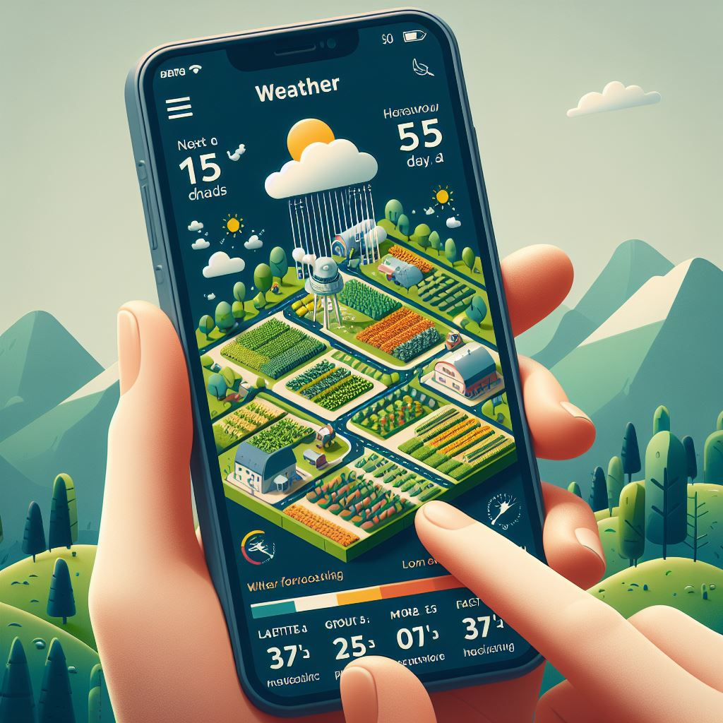
Weather Forecasting
Get the next 15 days weather forecast and plan your farming activities (e.g. sowing, harvesting) accordingly.

Land Area Mapping
With the help of satellite data, get the area of a farm within minutes in the locally used units like Bigha/Gunta as well as Hectares.